EMAPS
s the advent of online communication blurs the borders between the inside and outside of science, consumers and producers of scientific information are proliferating. The processes of constructing scientific facts become more transparent while the controversies generated by the developments in science and technology tend to be more visible.
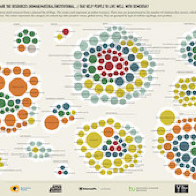
EMAPS (Electronic Maps to Assist Public Science), a 3-year research project funded by the EU, advanced an innovative method called 'controversy mapping' to visualise the main actors and controversies around two major scientific debates: an ageing population and climate change adaptation.
The EMAPS project was designed to assess the opportunities and risks in the use of the web and the social media as a meaningful tool to foster participatory communication between scientists and the different publics of science and technology. It draws on a set of theories and scientific practices ranging from digital methods to climate science.
The project was coordinated by Sciences Po Paris. Its partners were the University of Amsterdam, Barcelona Media, Politecnico di Milano, the Young Foundation, and the Dortmund Technische Universität.


