The historical landscape at the beginning of the Hellenic State: The "French Scientific Mission of Morea"
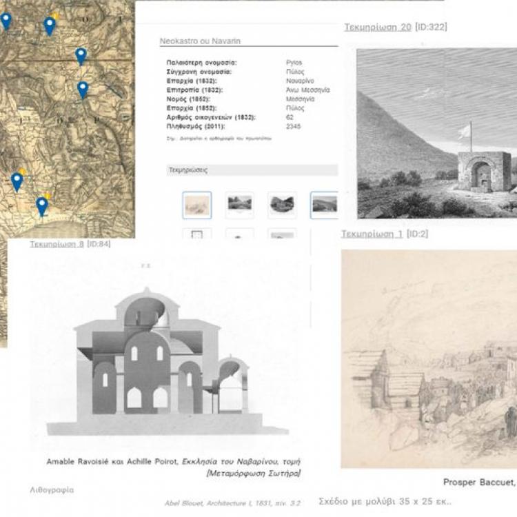
The aim of this research was the development of a web-based infrastructure that incorporates the historical geographical information derived from the maps and texts of the French Scientific Mission (1828-1829). The infrastructure supports the research and analysis of spatial relations and functions during the establishment of the first Hellenic State illuminating the historical landscape of that time.
The maps and geographical reports of the French Scientific Mission constituted the first systematic scientific mapping of the Greek territory and thus was the basic technological infrastructure of the new state that was about to be formed. For the development of the spatial infrastructure, new technological approaches have been followed in line with the recommendations suggested by the Geospatial Semantic Web, introducing the concepts of "semantic interoperability" and geographic data models in the management of historical data. This means that the spatial dimension of historical data is highlighted and thus these are modelled according to spatial information standards and as linked geo-data. The latter allows interconnection with other relevant historical sources and applications.
